Virtual
Tour > Intro > What Causes an EQ > How we locate EQ's > Equipment > Volcanoes > The End!
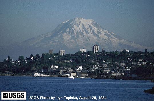
Mt. Rainier
Mt. Rainier's last eruption was a small eruption that occured
in 1840. However, its last major eruptions have been 1,000
and 2,300 years ago. While Mt. Rainier has had many small
eruptions in the past, the big eruptions have left evidence
of mudflows that reached all the way to the Puget Sound.
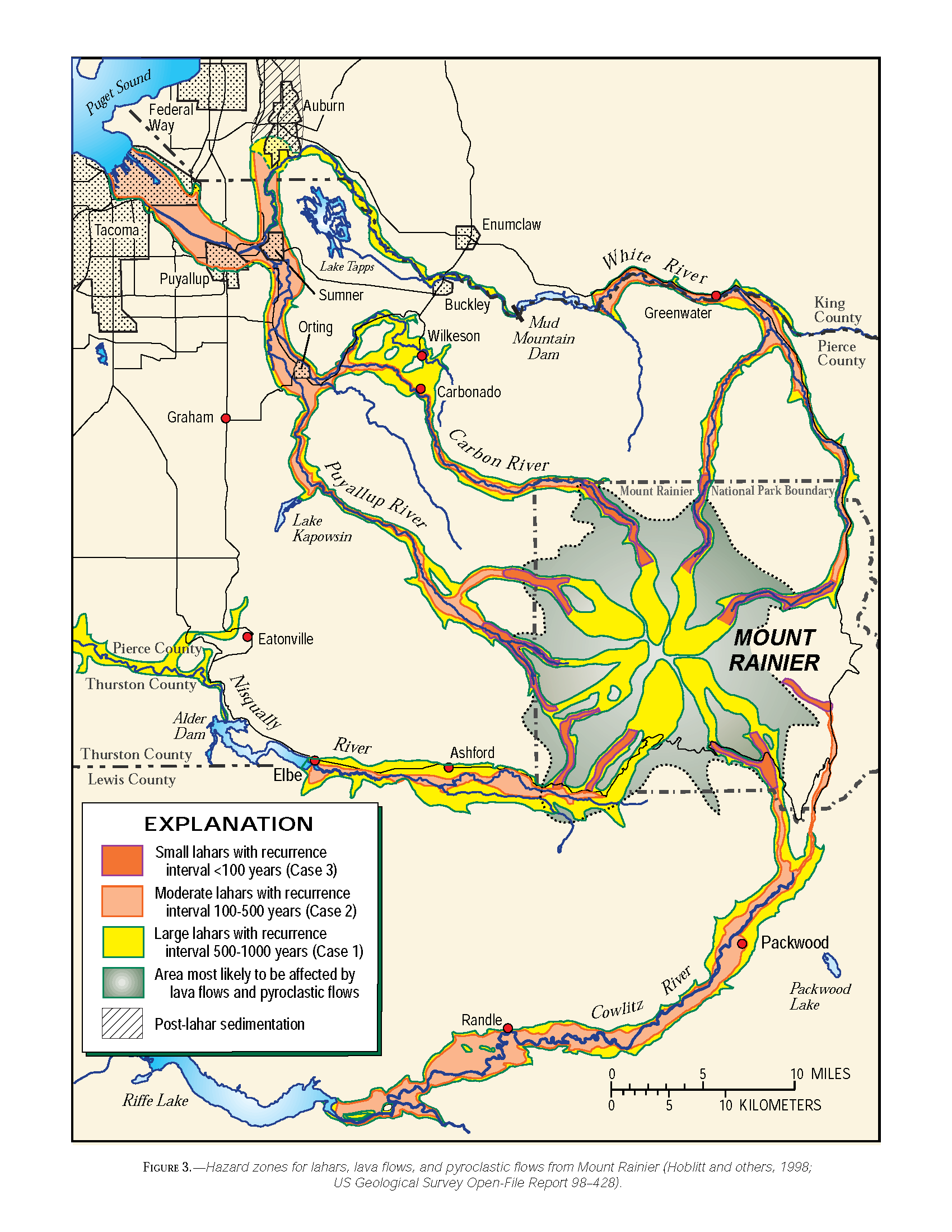
| To the right is a map of
the lahar flow directions and how often they occur.
A lahar is a thick debris flow that has the consitency
of something like wet concrete. As one can see, it is
possible to have a lahar flow make it all the way to
the Puget Sound. There is also evidence that much of
the Auburn valley is made up of volcanic material from
past eruptions. Click on the image to enlarge. |
|
Below is the map of the the direction of the ash fall and
the probability of the amount of ash that is going to occur
in certain regions around Rainier, based on past eruptions.
Once again, click on the map to enlarge.

If you would like to learn more about Mt. Rainier and see
its recent seismicity, click here.
Next>>>
|
|