Virtual Tour > Intro > What Causes an EQ > How we locate EQ's > Equipment > Volcanoes > The End!
|
Helicorders
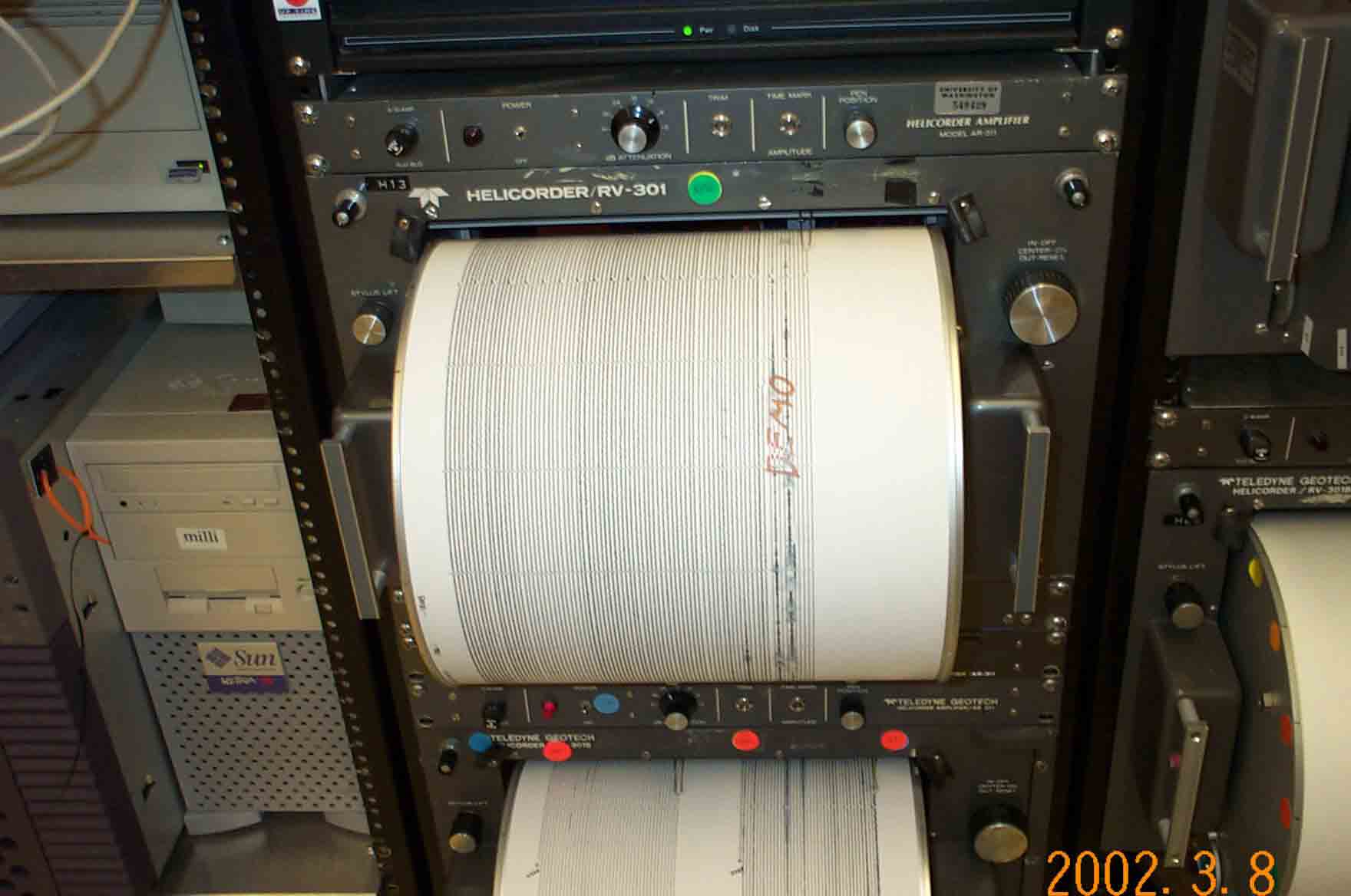
Helicorder Demo |
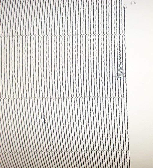
Helicorders are one of the ways we look at earthquakes
and other seismic events. Information from our seismographs
is sent back to the seismology lab and the signal is
transfered onto paper. We currently have 6 helicorder
drums set up in our lab, monitoring activity in Washington
and Oregon. The other seismograph signals we view on the
computer.
|
Our seismographs pick up many different
types of events. Along with earthquakes, our instruments
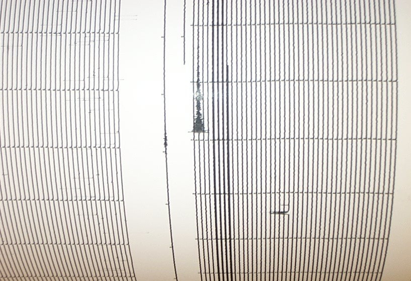
can pick up rockfalls, rock quarry blasts, a person's
footsteps, and various forms of interference. For an
earthquake, we look for a signal
that begins very abrubtly and gradually tapers out.
A rock fall looks like a teardrop, starting small,
getting bigger in the middle, and tapering off at
the end. A signal that does not have these
characteristics is most likely interference. When
viewing a seismograph
record, up-ward lines represent the ground moving
up, while downward lines signify downward motion.
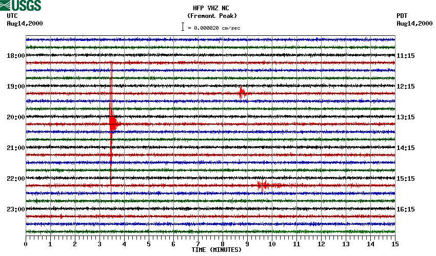
Our instruments are so sensitive they
can pick up earthquakes that occur around the world.
When these show up on our records, we call them
teleseisms. Characteristics of these teleseisms are
the larger spacing between the upward and downward
ground motion, which looks much wider than that of
local events.
|
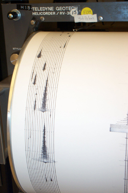 
Rockfall
Earthquake
Quarry Blast
Teleseism
|
|
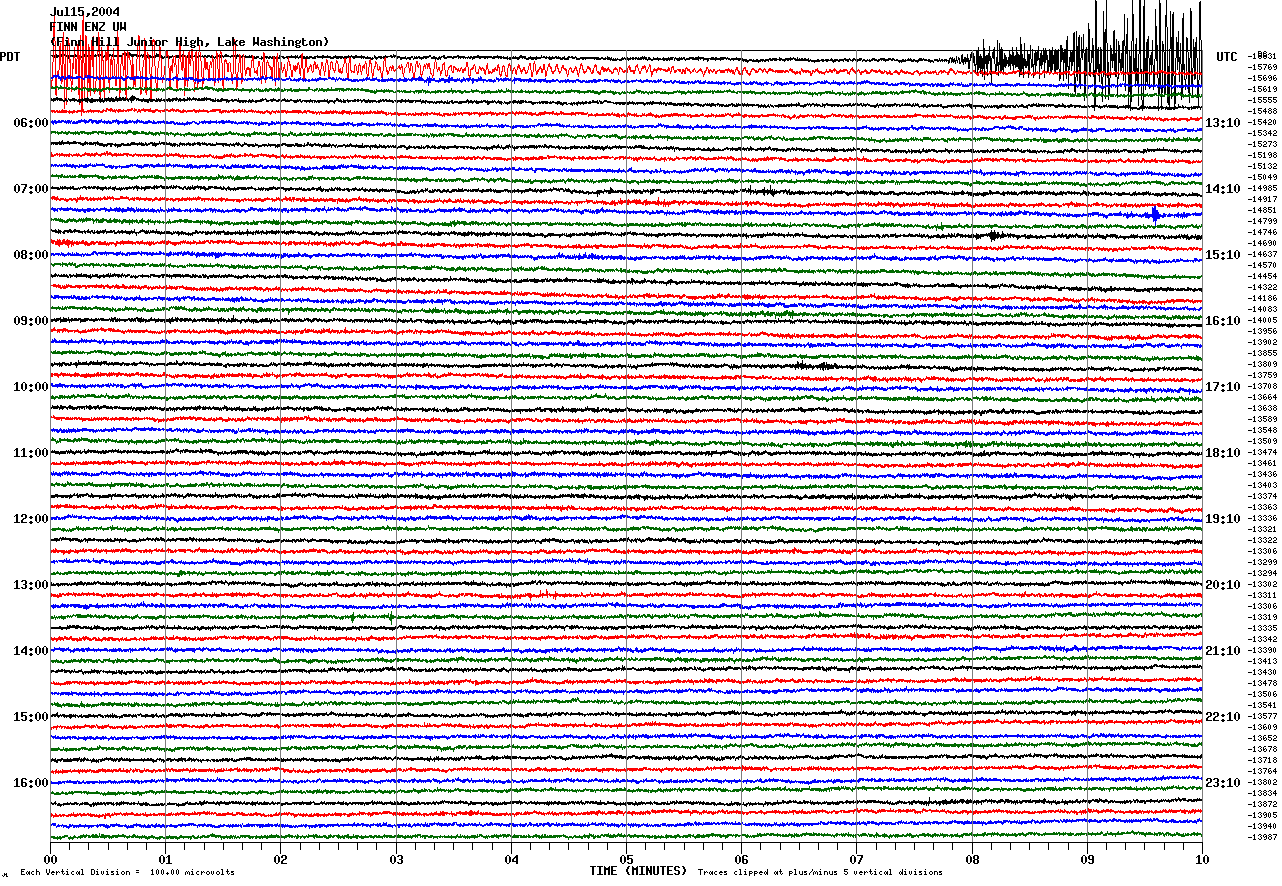
Data can also be seen using our webicorders. These
operate just like helicorders and show the same information
that we receive in the lab. The webicorders update every
minute and can be viewed by the public.
We currently stream over 50 short-period and strong-motion
seismometers into our webicorders. Many stations are
located at schools throughout Washington and Oregon.
To view the webicorders click here.
|
|
Many steps go into analyzing the information that
is received in the seismology lab. The most basic
step is looking at the seismograms from our helicorders
and double checking the computers are receiving
all the events. We locate earthquakes and rockfalls
by hand and compare our results with the computer's
automatic event locations.
|
Next>>>
|
|

