
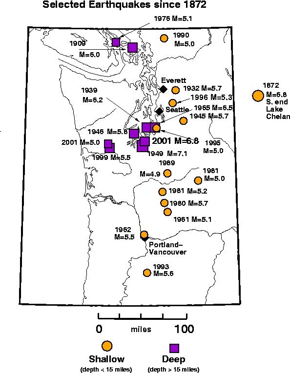
EARTHQUAKE SWARM AT MOUNT HOOD, OREGON
Basic Information
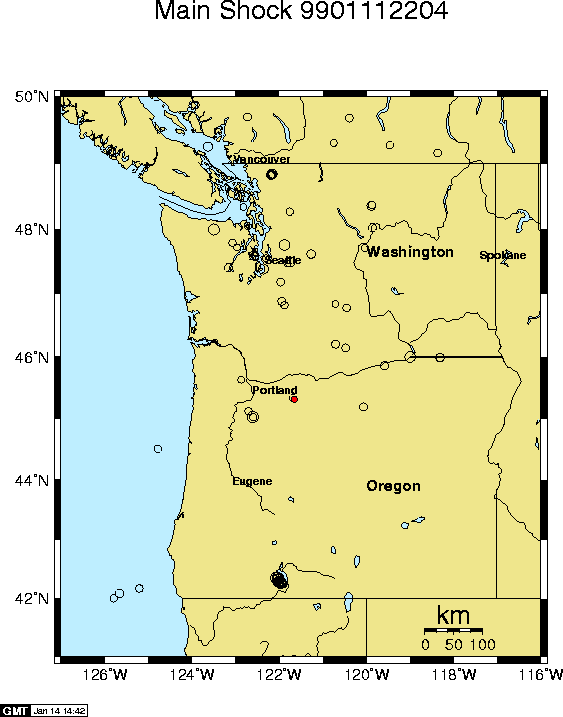
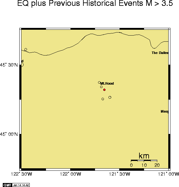
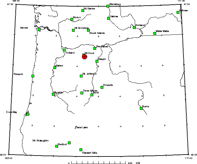
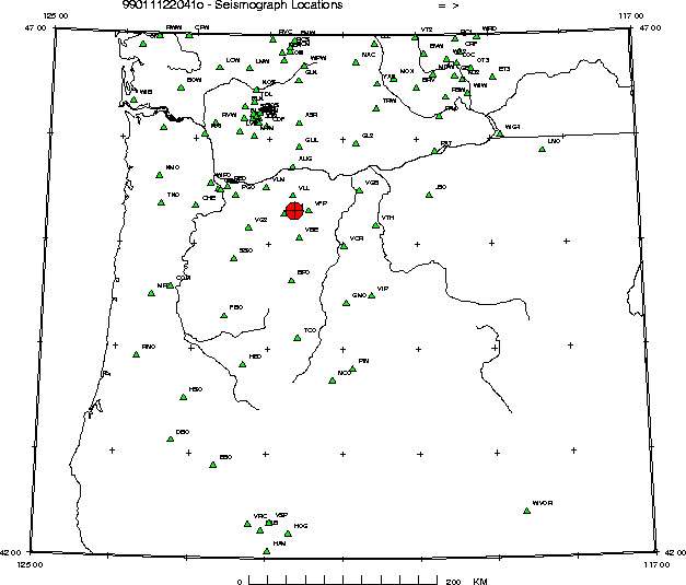
A Swarm of earthquakes began at Mount Hood on January 11, 1999.
A current list of earthquakes
in the swarm is available. In general the earthquakes occurred
about 4 miles (7 kilometers) south-southeast of Mount Hood
near the Mount Hood Meadows ski area. Several magnitude 3
earthquakes have occurred in the swarm. The largest earthquake
in this area in the last 30 years was a magnitude 4 earthquake
on December 13, 1974. The approximate location of earthquakes
in the January, 1999 swarm is 45.3195N 121.6538W.
This is an automated web page produced after a
significant earthquake to give essential information about the
earthquake, its aftershocks, and previous earthquake activity
in the region. Some of the information here will be
updated -- See the section on Aftershocks.
Detailed Information and Graphics about the Earthquake
(Also visit our section on General Information about Mount Hood)
Our data base of earthquake hypocenters contains information
from the 19th century to the present.
Included are:
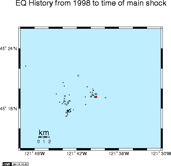
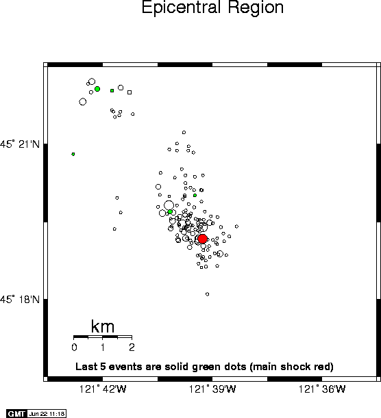
Foreshocks and Aftershocks
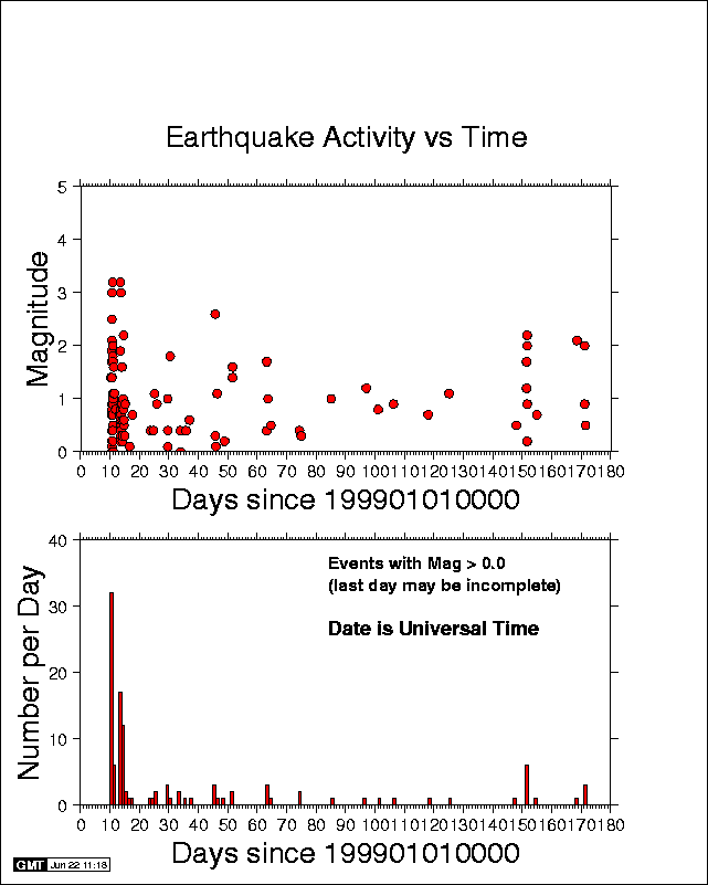
The following information will be updated as new aftershocks occur.
Included are:
- An Earthquake Catalog listing the location and magnitude of all earthquakes we have located in the epicentral region (including the mainshock and any aftershocks) for the current year.
- Detailed Map of the earthquakes in this catalog for the epicentral region.
- Seismic Activity as a function of time in the epicentral region since the time of the mainshock.
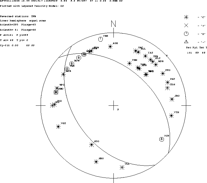
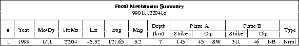
Earthquake Mechanism
If sufficient P-wave first motion data are available,
a fault plane determination for the earthquake
will be available in the form of
Moment Tensor Estimates of the Earthquake size may also be available. To see,
check at Oregon State U.
Preliminary Strong Motion Information
Related Information: Most Up-to-Date Local, National, and Global Earthquake Summaries