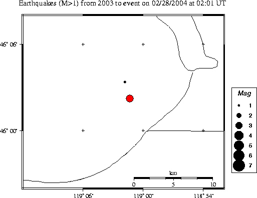
| Magnitude | 3.3 |
|---|---|
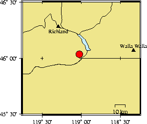
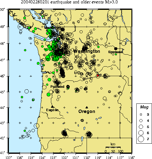
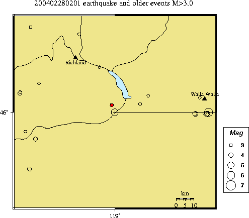
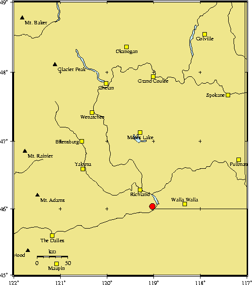
| Time | Saturday February 28, 2004 at 02:01:47.94 Z (UTC) Friday February 27, 2004 at 06:01:47.94 PM (PST) | Distance from | 20.1 km SSE of Kenewick, WA 22.7 km SSE of Pasco, WA 219.5 km SW of Spokane, WA (Mission & N Division) |
| Coordinates | 46.037 deg N 119.022 deg W |
| Depth | 1 km |
| Quality | fair (CB) |
| Note: 1 km = 0.621 mile or 1 mile = 1.61 km | |