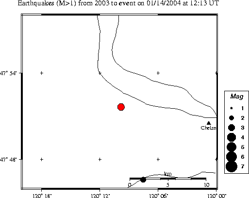
| Magnitude | 3.3 |
|---|---|
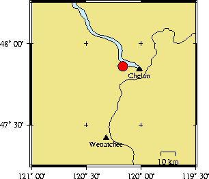
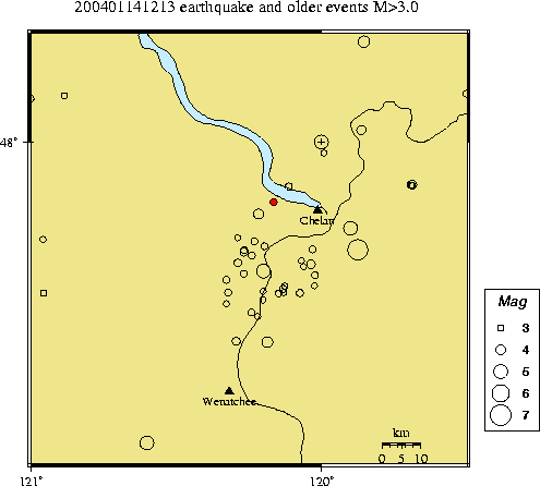
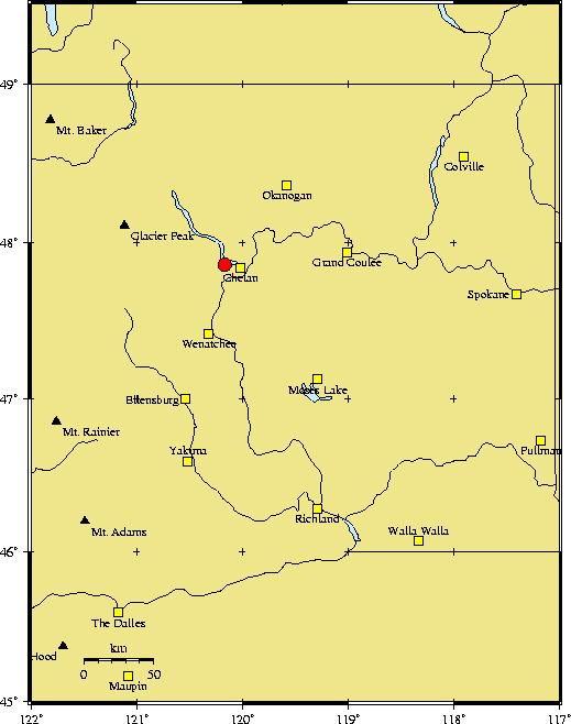
| Time | Wednesday January 14, 2004 at 12:13:38.89 Z (UTC) Wednesday January 14, 2004 at 04:13:38.89 AM (PST) | Distance from | 11.5 km W of Chelan, WA 22.6 km NNE of Entiat, WA 165.4 km E of Seattle, WA (1st & Yesler) |
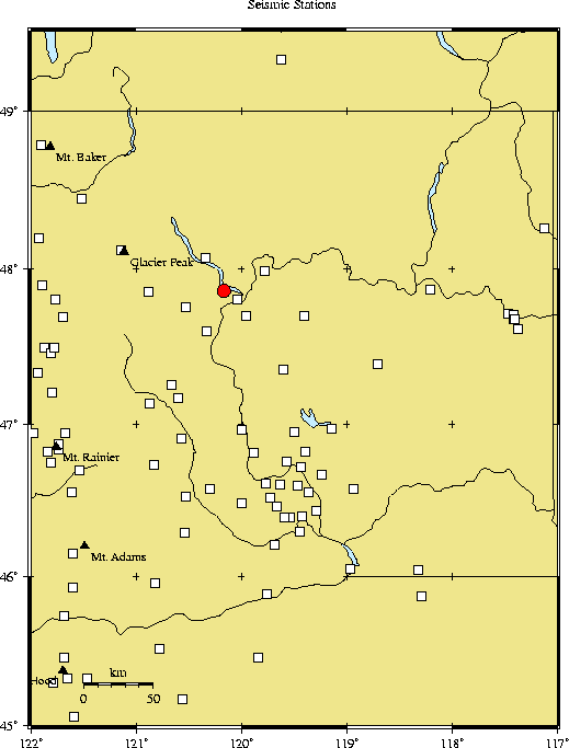
| Coordinates | 47.861 deg N 120.164 deg W |
| Depth | 3 km |
| Quality | fair (CC) |
| Note: 1 km = 0.621 mile or 1 mile = 1.61 km | |