DID YOU FEEL IT index search for PNSN
- You can report shaking and damage at your location.
You can also view a map displaying a summary of data
received from all reports.
View Seismograms
- View web-based seismograms by station and date.
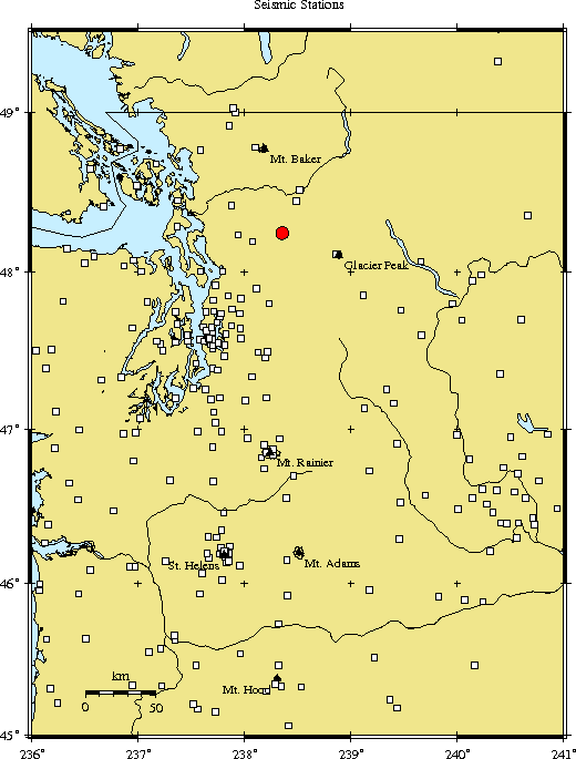
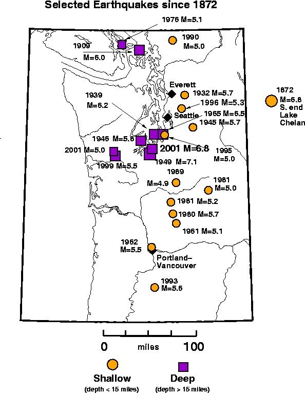
Maps and History of Earthquakes in this Region
Foreshocks and Aftershocks -
The following information will be updated as new aftershocks occur.
Included are:
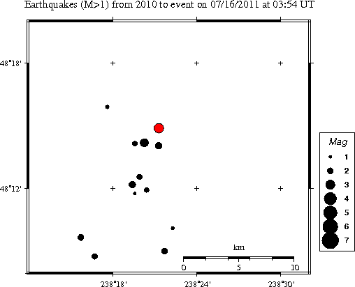
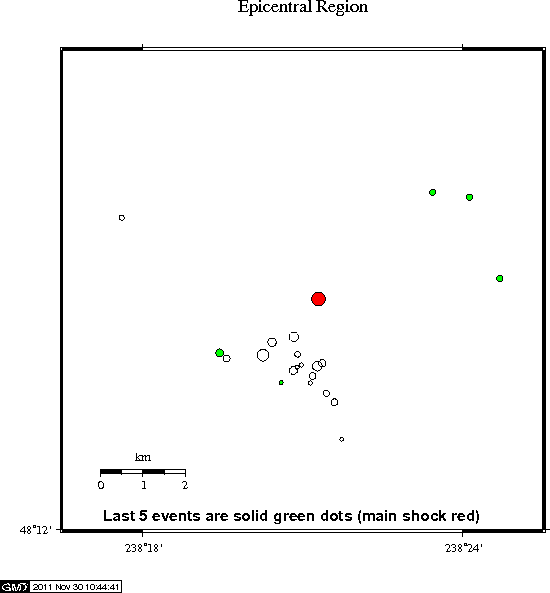
- An Earthquake Catalog listing the location and magnitude of all earthquakes we have located in the epicentral region (including the mainshock and any aftershocks) for the current year.
- Detailed Map of the earthquakes in this catalog for the epicentral region.
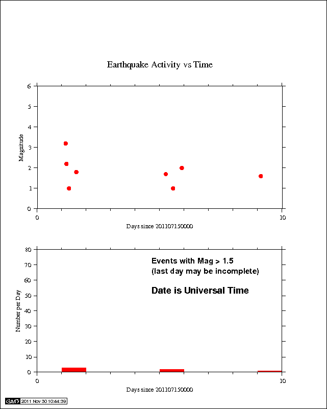
- Seismic Activity as a function of time in the epicentral region since the time of the mainshock.
Focal Mechanism - A diagram and table of the P-wave fault plane solution. If sufficient P-wave first motion data are available, a fault plane determination for the earthquake will be available.
Strong-Motion Information - for some earthquakes a ShakeMap based on recorded data from digital accelerographs is available.
Related Information - Most Up-to-Date Local and Global Earthquake Summaries
- Latest Quakes from the Pacific Northwest, the nation and the world