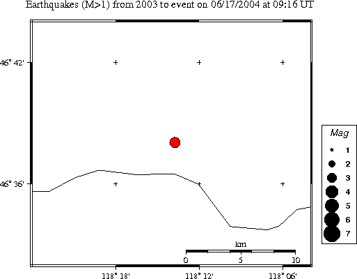
| Magnitude | 3.4 |
|---|---|
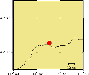
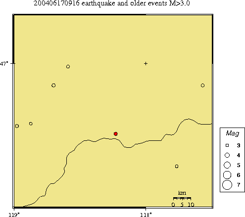
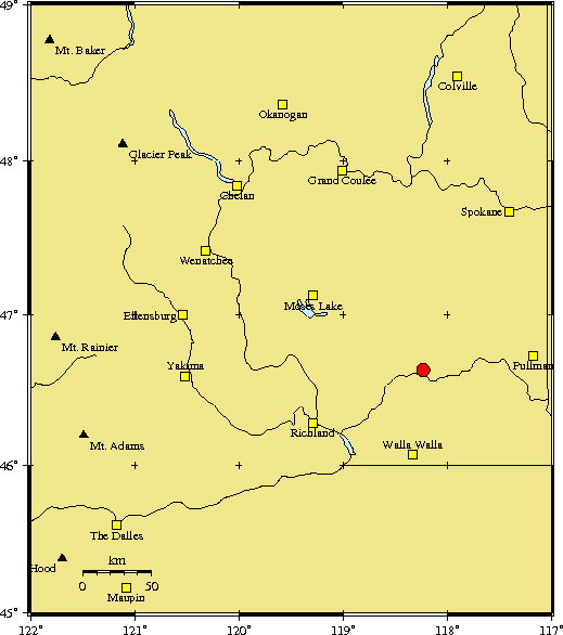
| Time | Thursday June 17, 2004 at 09:16:42.93 Z (UTC) Thursday June 17, 2004 at 02:16:42.93 AM (PDT) | Distance from | 63.3 km N of Walla Walla, Wa 74.9 km ESE of Othello, WA 131.0 km SSW of Spokane, WA (Mission & N Division) |
| Coordinates | 46.634 deg N 118.229 deg W |
| Depth | 36 km |
| Quality | poor (CD) |
| Note: 1 km = 0.621 mile or 1 mile = 1.61 km | |