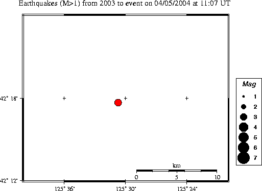
| Magnitude | 3.1 |
|---|---|
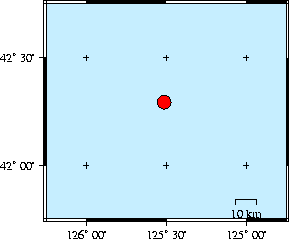
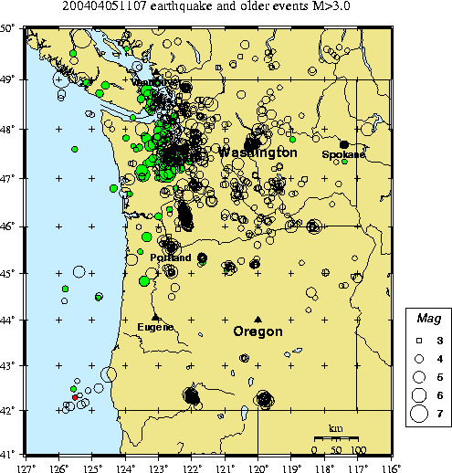
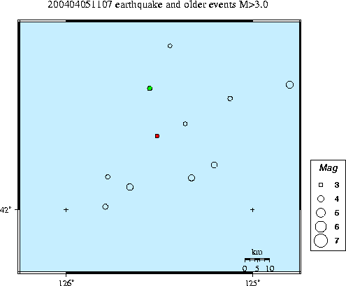
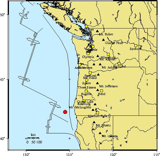
| Time | Monday April 5, 2004 at 11:07:12.56 Z (UTC) Monday April 5, 2004 at 04:07:12.56 AM (PDT) | Distance from | 124.0 km WNW of Crescent City, CA 129.1 km SE of Blanco Frac. Zone, SE tip 428.6 km SW of Portland, OR |
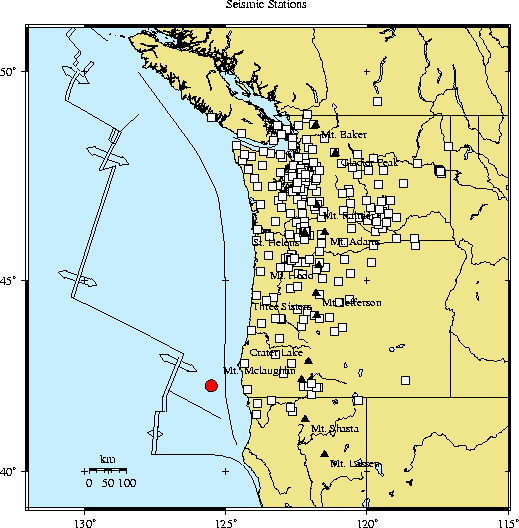
| Coordinates | 42.295 deg N 125.512 deg W |
| Depth | 10 km |
| Quality | poor (CD) |
| Note: 1 km = 0.621 mile or 1 mile = 1.61 km | |