| Magnitude | 3.8 |
|---|---|
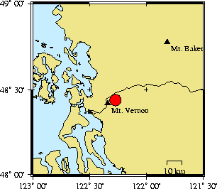
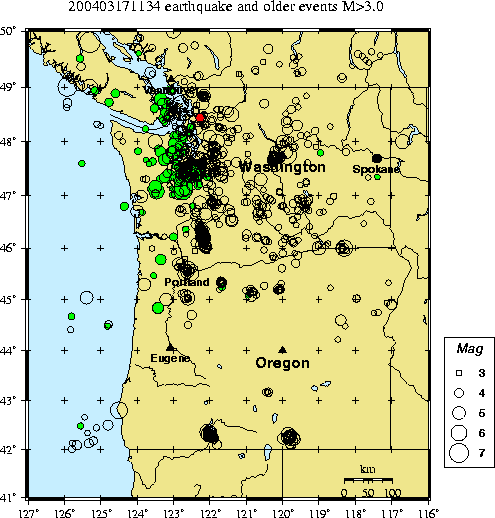
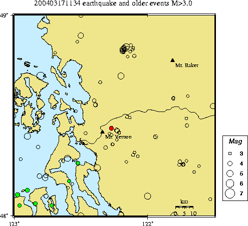
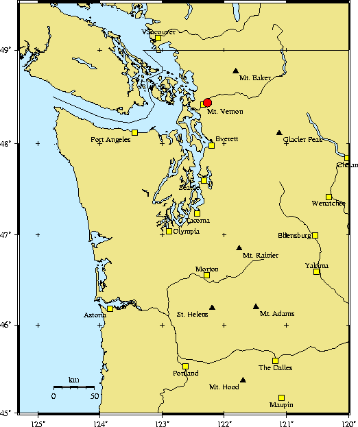
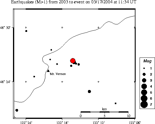
| Time | Wednesday March 17, 2004 at 11:34:27.34 Z (UTC) Wednesday March 17, 2004 at 03:34:27.34 AM (PST) | Distance from | 5.4 km ENE of Mount Vernon, WA 7.3 km SSW of Sedro Woolley, WA 93.2 km N of Seattle, WA (1st & Yesler) |
| Coordinates | 48.439 deg N 122.271 deg W |
| Depth | 0 km |
| Quality | fair (CC) |
| Note: 1 km = 0.621 mile or 1 mile = 1.61 km | |