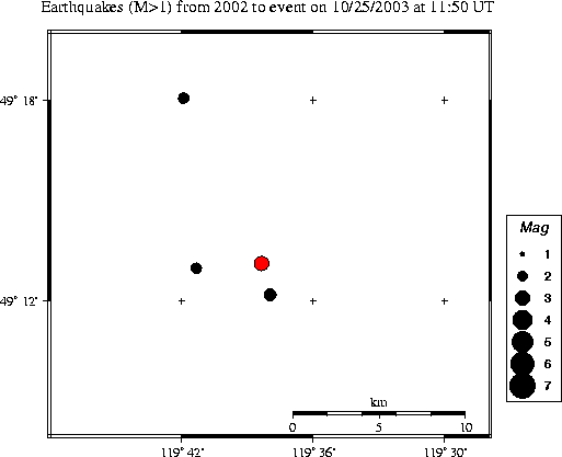
| Magnitude | 3.0 |
|---|---|
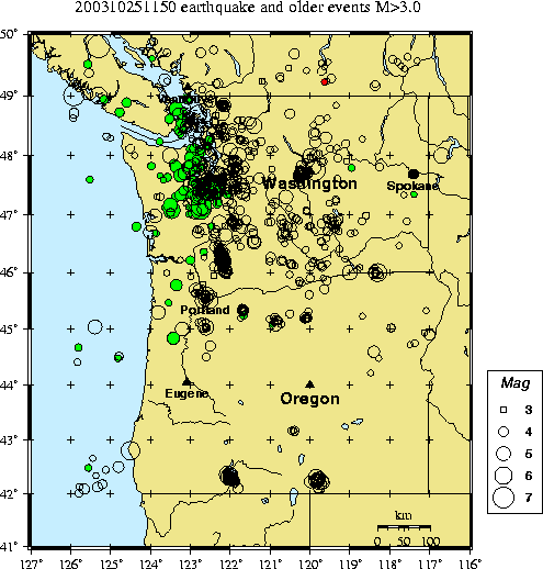
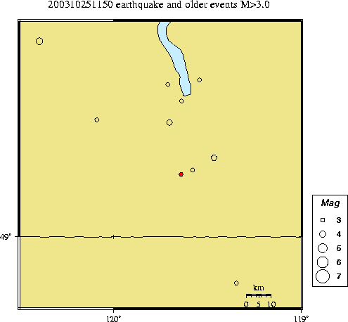
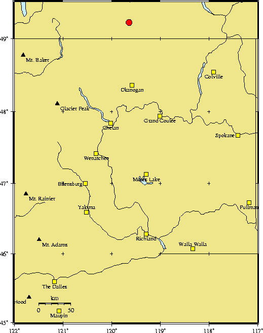
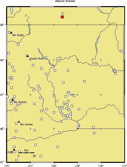
| Time | Saturday October 25, 2003 at 11:50:58.26 Z (UTC) Saturday October 25, 2003 at 04:50:58.26 AM (PDT) | Distance from | 31.6 km S of Penticton, BC 94.9 km N of Okanogan, WA 238.4 km NW of Spokane, WA (Mission & N Division) |
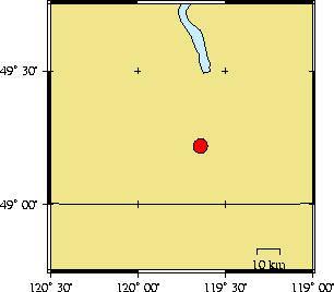
| Coordinates | 49.219 deg N 119.639 deg W |
| Depth | 13 km |
| Quality | poor (CD) |
| Note: 1 km = 0.621 mile or 1 mile = 1.61 km | |